
Time flies, and I am now much closer to the end of the PRISM (PReservation and RecognItion of Spatial patterns using Machine learning) project than to its beginning.1. The project’s primary goal is to develop methods for validating and including spatial patterns in machine learning. In this blog post, I summarize the project’s progress from April 2025 to February 2026 and share related outputs and activities.
This blog post is the third part of the PRISM project’s progress report, covering the period from April 2025 to February 2026. The first part explored my experiences during the application process, while the second part focused on the project’s first eight months, including the initial research activities and other related events.
Before diving into the details of the research activities, I want to thank everyone who has been part of this journey so far!
Spatial patterns and machine learning
From April 2025 to February 2026, I continued working on spatial patterns and machine learning, which are the core topics of the PRISM project. One part of this work focused on writing and coordinating a perspective paper on spatial machine learning, which is currently under review. It is a collaborative effort following the Advances in Spatial Machine Learning 2025 workshop, which I co-organized in March 2025. The paper provides an overview of the current state of spatial machine learning, identifies methodological challenges, and offers recommendations for improving robustness, transparency, and comparability in this field. I plan to share the paper once the review process is completed.
Another aspect of this work focused on better understanding the spatial autocorrelation of machine learning prediction errors. For that purpose, I focused on Moran’s I – a widely used measure of spatial autocorrelation – and its properties and interpretation in this context. I wrote preliminary results on this topic in a short paper and presented them at the AGILE 2025 conference in June 2025. Still, there is a lot to explore in this area, and I have been making steady progress – stay tuned for more updates.
One of the biggest advantages of being part of the Remote Sensing and Spatial Modeling group in Muenster is the opportunity to interact with experts on spatial machine learning validation and evaluation. This quickly brought me up to speed with the state of the art and opened many opportunities for discussion. Much of this discussions focuses on robust validation of spatial machine learning models: how to design spatial cross-validation schemes depending on the available data and task, and for which locations predictions are reliable. I presented some of these ideas in a talk for the Rome R Users Group in November 2025 (slides: slides, recording: recording).
Together with colleagues from the research group, we also published a blog post series on spatial machine learning with R. It helped us better understand the current state of the R ecosystem for spatial machine learning and provided a useful resource for others interested in this topic. Read the full series at https://geocompx.org/post/2025/sml-bp1/.
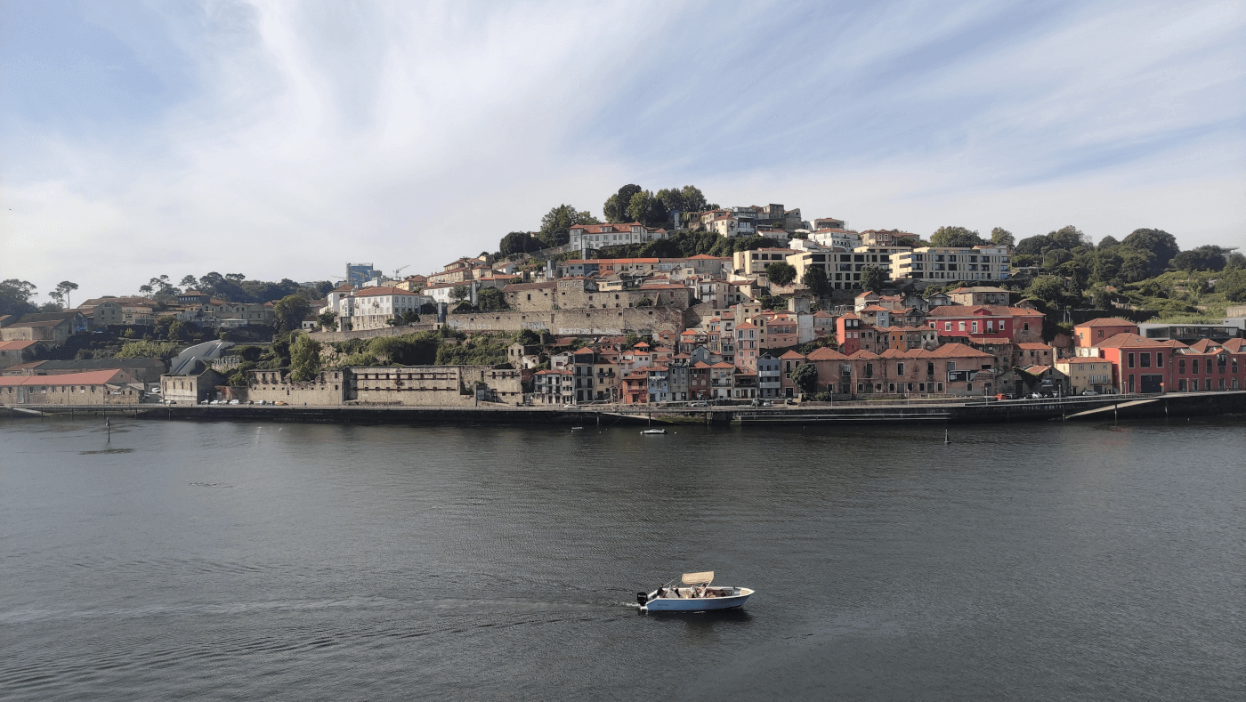
During spring 2025, I also attended the Machine Learning for Visual Spatio-Temporal Data course at the Institute of Geoinformatics at the University of Muenster. The course deepened my understanding of deep learning for spatio-temporal data and clarified its potential and limitations for my research. To explore the current state of machine learning even more, I went to Porto, Portugal, to attend the ECML PKDD2 2025 conference. The conference has a strong computer science focus, but I found it very useful to take an outsider perspective on machine learning research, and it gave me a lot to think about. This event also allowed me to rethink some of my ideas for PRISM and other projects – I came back with many notes. New developments in machine learning are happening very fast, and this requires both constant learning and decisions on which topics to follow and which to ignore. In December 2025, I gave a talk for my research group on deep learning for spatial data to test and discuss related concepts and ideas. It included graph neural networks, embeddings, and foundation models – slides (and related code): https://jakubnowosad.com/posts/2025-12-15-agforum-talk/.
geocompx
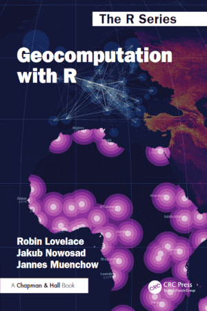
The geocompx project is a long-term initiative to create open educational resources for spatial data science and geocomputation. It is a collaborative effort of many people, and I am happy to be a part of it. In May 2025, the second edition of the Geocomputation with R book was published, which is a major milestone for the project. The book is a comprehensive resource for learning geocomputation with R, and it covers a wide range of topics, from data manipulation and visualization to spatial modeling and machine learning. The book is available online at https://r.geocompx.org/ and in print from various retailers.
A more recent addition to the geocompx project is a book-in-progress, “Spatial Data Visualization with tmap: A Practical Guide to Thematic Mapping in R”. It focuses on the many tools and features of the R package tmap and, we hope, will be a great resource for anyone interested in maps with R. Currently, the first three out of five parts of the book are available online at https://tmap.geocompx.org/. We encourage you to check it out, and if you have any feedback or suggestions for improvement, please let us know by contributing to the GitHub repository at https://github.com/geocompx/tmap/.
To learn more about the geocompx project and its various outputs, visit https://geocompx.org/, read its 2025 annual report, or follow updates on social media.
Other research outcomes
In December 2025, a paper on spatial data science (programming) languages was published in the Journal of Spatial Information Science (JOSIS). The paper is a result of a collaborative effort of discussions from two workshops on spatial data science across languages, organized in 2023 and 2024. It provides an overview of the current state of spatial data science languages, identifies commonalities and differences between them, and offers recommendations for improving interoperability and usability across languages. The paper is available at https://doi.org/10.5311/JOSIS.2025.31.462.
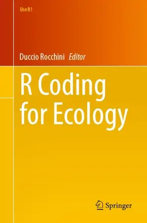
In early 2026, a book, “R Coding for Ecology”, was published that provides practical guides for using R in ecological research, including species distribution modeling, spatial ecology, and data visualization. It also includes three chapters that I co-authored:
- “The landscapemetrics and motif Packages for Measuring Landscape Patterns and Processes”: It explores the usage of R packages, landscapemetrics and motif, for quantifying and analyzing landscape patterns using categorical maps.
- “The cblindplotR Package: Building New Bridges to Visually Inclusive Science for Colourblind People”: It showcases the cblindplotR package to redo maps and plots in a way that is more accessible to people with color vision deficiencies. It also describes other R packages that may be useful for colourblind-friendly visualisations.
- “The cartogram Package for Mapping Ecological Patterns”: It shows how cartograms can be useful for mapping ecological patterns, and how to create them with the cartogram package.
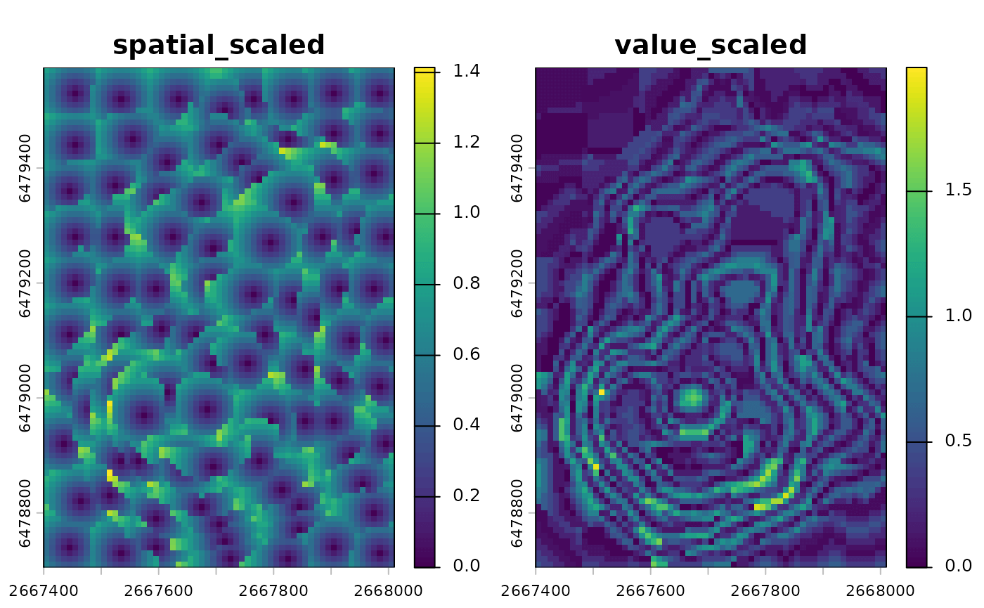
In parallel, I also made several improvements and modifications to my other R packages. These include the patternogram package for quantifying and visualizing the spatial autocorrelation of multidimensional data. Its current features are described in the introduction vignette. Most changes, however, were made to the supercells package for grouping raster cells into meaningful, coherent regions. The package is based on the SLIC superpixels algorithm, adapted to work with arbitrary dissimilarity measures and multidimensional data. The upcoming version 2.0 provides new syntax and outputs, tools for parameter tuning, and functions to evaluate supercell quality across various aspects. More details about the changes are in the Main changes since version 1.0.0 vignette. This work is still in progress – this is a perfect time to check the package out and share your feedback and suggestions at https://github.com/Nowosad/supercells/issues.
Other activities
This period has also been full of other activities, including events, teaching, and outreach.
During the summer semester of 2025, I taught a two-day workshop on “R for automation and packaging” and gave a short class on “Version Control with Git and GitHub” for Landscape Ecology master’s students at the University of Muenster. Both activities focused on practical skills that students can directly apply in their research. In September 2025, I also went to the EON summer school and gave a workshop on “Understanding spatial patterns: how to measure and compare them” for participating students. My slides for this workshop are available online.
In May, I gave an online presentation on tips for applying to the MSCA-PF program during an info session organized by KoWi3. It shared subjective advice based on my experience with the application process. Slides: https://jakubnowosad.com/kowi2025/.

Moreover, I went to Barcelona to be part of the defense committee for Carles Milà’s PhD thesis on spatial data science and its applications to epidemiological research. The defense went very smoothly4, and it offered a useful perspective on spatial data science from another application domain.
Upcoming months
There are already many things planned for the upcoming months. I especially hope that I will be able to share some of the outputs of the PRISM project, including the perspective paper on spatial machine learning and the paper on spatial autocorrelation of machine learning errors. I also plan not to stop working on the supercells package and hopefully release version 2.0 in the next few months.

The summer months will also be full of various conferences and summer schools.5 Here are some of the events that I am planning to attend, give talks at, or organize workshops for:
- EGU 2026 conference in Vienna, Austria (May 2026)6
- Machine Learning for Earth Observation (ML4EO) conference in Exeter, UK (June 2026)
- UseR! 2026 conference in Warsaw, Poland (July 2026)
- Earth Observation Summer School in Istanbul, Turkey (August 2026)
As of the time of writing this post, the ML4EO and UseR! conferences have open calls for abstracts – I encourage you to check them out and submit if these events match your interests. The Earth Observation Summer School is also accepting student applications – details on the application process are at the link above.
See you at some of these events or online!
Footnotes
The project started in August 2024 and will end in August 2026. During this period, I am working in the Remote Sensing and Spatial Modeling group at the University of Muenster, Germany.↩︎
European Conference on Machine Learning and Principles and Practice of Knowledge Discovery in Databases↩︎
the German organization providing, among others, information on European research funding↩︎
Congratulations to Carles!↩︎
A more comprehensive list of geospatial conferences in 2026 is at https://github.com/Nowosad/conferences_2026↩︎
First time for me at EGU.↩︎
Citation
@online{nowosad2026,
  author = {Nowosad, Jakub},
  title = {PRISM Project’s Update: Making Spatial Machine Learning More
    Reliable, Plus Related Activities},
  date = {2026-02-13},
  url = {https://jakubnowosad.com/posts/2026-02-13-msca-bp3/},
  langid = {en}
}