Generate spatial proxies
make_proxy.RdThe make_proxy() function generates spatial proxies for a given raster object.
It generates spatial proxies such as:
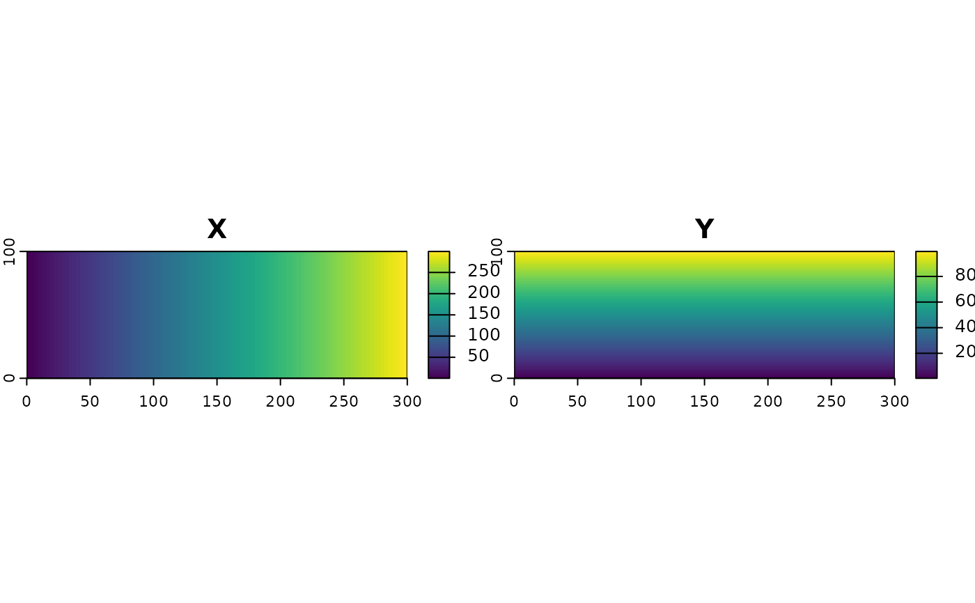
coordinates
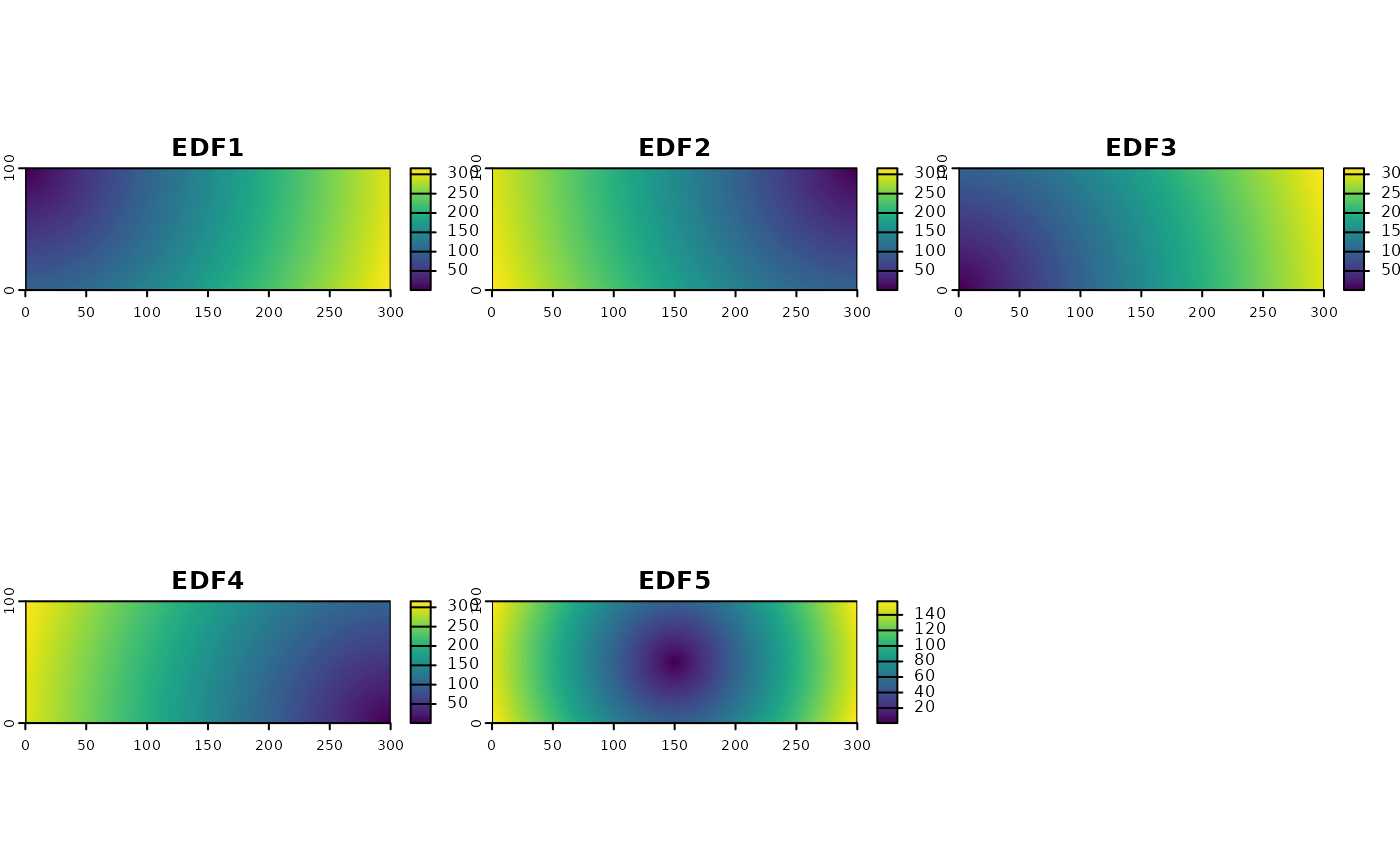
Euclidean Distance Fields (EDF)
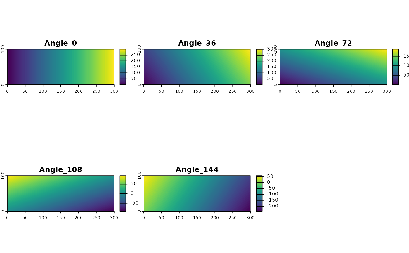
Oblique Geographic Coordinates (OGC)
make_proxy(rast_grid, method = proxy_coordinates())

add_proxy(rast_grid, method = proxy_coordinates())Value
A SpatRaster object
SpatRaster
References
Behrens, T., Schmidt, K., Viscarra Rossel, R. A., Gries, P., Scholten, T., & MacMillan, R. A. (2018). Spatial modelling with Euclidean distance fields and machine learning. European journal of soil science, 69(5), 757-770.
Møller, A. B., Beucher, A. M., Pouladi, N., & Greve, M. H. (2020). Oblique geographic coordinates as covariates for digital soil mapping. Soil, 6(2), 269-289.
Examples
rast_grid = terra::rast(
  ncols = 300, nrows = 100,
  xmin = 0, xmax = 300,
  ymin = 0, ymax = 100
)

proxy_coords = make_proxy(rast_grid, proxy_coordinates())
proxy_edf = make_proxy(rast_grid, proxy_edf())
proxy_ogc = make_proxy(rast_grid, proxy_ogc(n = 5))

terra::plot(proxy_coords)

terra::plot(proxy_edf)

terra::plot(proxy_ogc)