The geographic boundaries of departments (sf) of the municipality of Athens. This is accompanied by various characteristics in these areas.
Format
An sf object of 7 polygons with the following 7 variables.
num_dep: An unique identifier for each municipality department.
airbnb: The number of airbnb properties in 2017
museums: The number of museums
population: The population recorded in census at 2011.
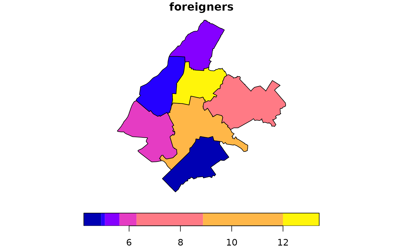
pop_rest: The number of citizens that the origin is a non european country.
greensp: The area of green spaces (unit: square meters).
area: The area of the polygon (unit: square kilometers).
Examples
if (requireNamespace("sf", quietly = TRUE)) {
  library(sf)
  data(depmunic)

  depmunic$foreigners <- 100*depmunic$pop_rest/depmunic$population
  plot(depmunic["foreigners"], key.pos=1)
}