The object loaded is a sf object containing the contiguous United States data from the US Census Bureau
with a few variables from American Community Survey (ACS)
Format
Formal class 'sf' [package "sf"]; the data contains a data.frame with 49 obs. of 7 variables:
GEOID: character vector of geographic identifiers
NAME: character vector of state names
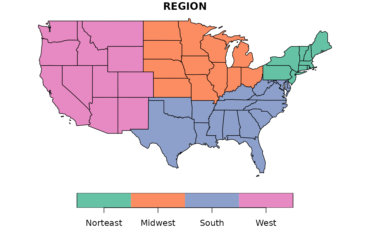
REGION: character vector of region names
AREA: area in square kilometers of units class
total_pop_10: numerical vector of total population in 2010
total_pop_15: numerical vector of total population in 2015
geometry: sfc_MULTIPOLYGON
The object is in geographical coordinates using the NAD83 datum.
Examples
if (requireNamespace("sf", quietly = TRUE)) {
  library(sf)
  data(us_states)

  plot(us_states["REGION"])
}