The object loaded is a sf object containing a world map data from Natural Earth with a few variables from World Bank
Format
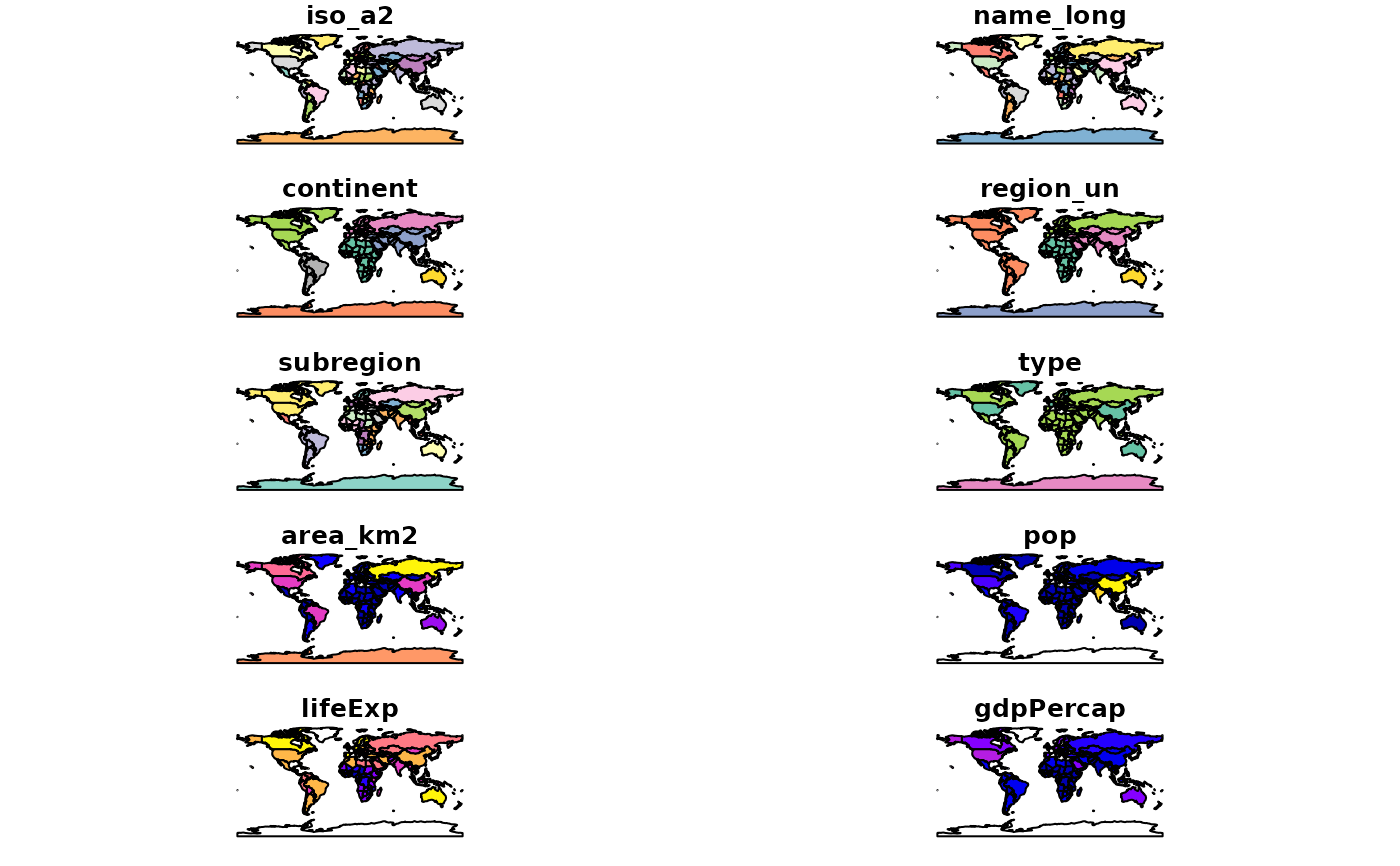
Formal class 'sf' [package "sf"]; the data contains a data.frame with 177 obs. of 11 variables:
iso_a2: character vector of ISO 2 character country codes
name_long: character vector of country names
continent: character vector of continent names
region_un: character vector of region names
subregion: character vector of subregion names
type: character vector of type names
area_km2: integer vector of area values
pop: integer vector of population in 2014
lifeExp: integer vector of life expectancy at birth in 2014
gdpPercap: integer vector of per-capita GDP in 2014
geom: sfc_MULTIPOLYGON
The object is in geographical coordinates using the WGS84 datum.
Examples
if (requireNamespace("sf", quietly = TRUE)) {
  library(sf)
  data(world)
  # or
  world <- st_read(system.file("shapes/world.gpkg", package="spData"))

  plot(world)
}
#> Reading layer `world' from data source
#>   `/home/runner/work/_temp/Library/spData/shapes/world.gpkg'
#>   using driver `GPKG'
#> Simple feature collection with 177 features and 10 fields
#> Geometry type: MULTIPOLYGON
#> Dimension:     XY
#> Bounding box:  xmin: -180 ymin: -89.9 xmax: 180 ymax: 83.64513
#> Geodetic CRS:  WGS 84